Topographic Mapping
-
 Mapping
 -
-21.jpg) Land Surveys
Land Surveys -
 Land Surveys
 -
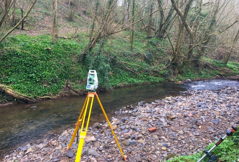 River Surveys
 -
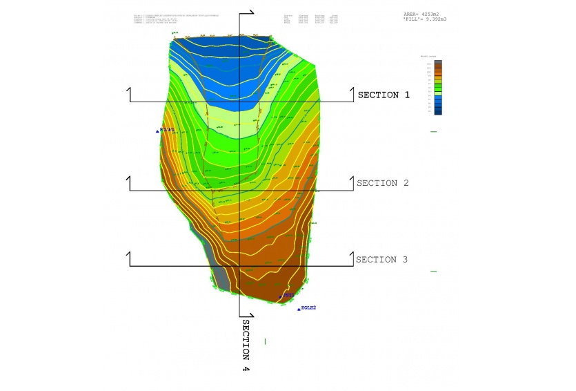 Volumetric Surveys
 -
 Surveys processed using latest LSS software
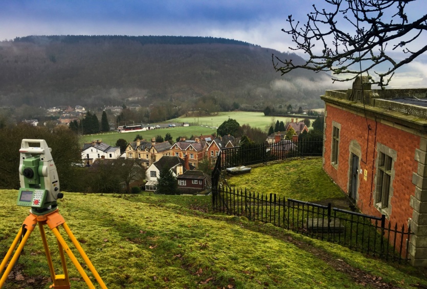
What is Topographic Mapping?
- Before any construction or engineering project can begin, a detailed topographic survey (often referred to as a 'contour survey') is required to establish a base plan which can be used by designers to assist in architectural design and construction works.
- The survey (or map) will contain 3-dimensional data including natural (particularly ground elevations) as well as man-made features.
- Topographic Surveys and Maps are essential in anticipating problems that may arise further down the road, thus making programmes and developments more cost effective and safer in the long run.
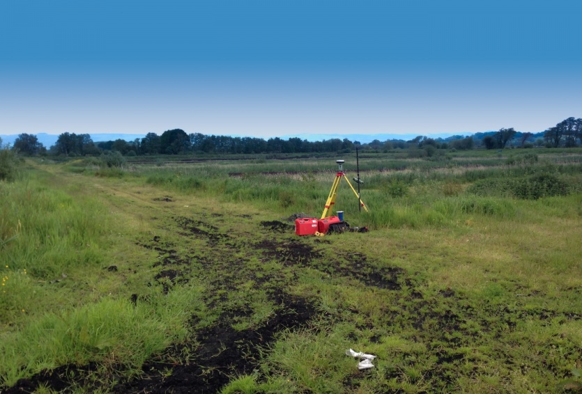
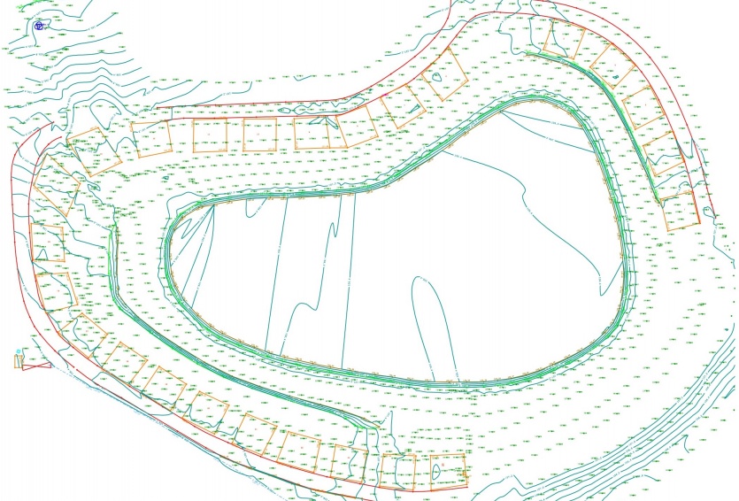
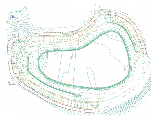
Case study: Caravan park development, Shropshire.
A full topographic survey was required for the development of a new caravan park development. The resulting survey was used as a base model for designing and positioning the layout of the caravan pitchs. The levels were also taken from the survey to aid in the design of the drainage systems.
.jpg?rnd=0.17348514380623614)
When is a Topographic Survey required?
- To create a 3D model of an area for property or construction planning
- To define property boundaries and their features to support planning applications
- Historical recording
- Golf course mapping (yardage charts and fly-throughs)
CADSITE utilises the latest Total Station and GPS technology to carry out its topographic surveying and mapping. Surveys are all linked to Ordnance Survey Grid and Newlyn Datum. Depending on the clients requirements, the surveys can be delivered in a range of formats, from simple .pdf copies to .dxf CAD models. Please get in touch if you have any topographical or mapping requirements.